- CoreChame 2,670 → Pisang 3,200 → Manang 3,540 (+ rest day) → Yak Kharka 4,050 → Thorong Phedi 4,450 / High Camp 4,880 → Thorong La 5,416 → Muktinath 3,760 · 6 trekking days · ≈ 60 km
- BeforeBesisahar 760 → Bhulbhule → Jagat → Tal → Dharapani 1,860 → Chame · on foot 3–4 days · by jeep 5–8 hours
- TilichoManang → Khangsar → Siri Kharka 4,060 → Tilicho Base Camp 4,150 → lake 4,919 → back to Yak Kharka · + 2–3 days
- AfterMuktinath → Kagbeni → Jomsom 2,720 · 1 day on foot or 2 h jeep · flight Jomsom–Pokhara 20 min · jeep to Tatopani 1,190 → Ghorepani 2,860 → Poon Hill 3,210 → Nayapul · + 3 days
- Pass dayDeparture 3–5 am, 1,000 m up (from Phedi) or 550 (from High Camp), 1,600 down; 7–9 hours
8, 12, 16 or 22 days: what the number in the title means
Eight to nine days (Everest Holiday, Bold, Recreation) means: jeep to Tal, Dharapani or Chame, six to seven trekking days to Muktinath, jeep to Pokhara. Everest Holiday even drops the rest day in Manang. Eleven to twelve (Nepal High, MTA, CAN, Trek & Adventure, Nature Explore, Outfitter, Adventure Bound Short) have the same core with hotels or one extra: Nepal High the High Camp, Trek & Adventure Tilicho, Outfitter Tatopani and Poon Hill, Adventure Bound Short the flight from Jomsom. Thirteen to sixteen (Nepal Social, Glorious, Adventure Bound, Mount Mania, Peregrine, Discovery World, Sole, HSJ) combine Tilicho or Poon Hill with the core and city days. Eighteen to twenty-two (Accessible, Great Adventure, Ace) are the whole Circuit on foot from Syange or Bhulbhule to Nayapul or Ghandruk, with a rest day in Tatopani and sightseeing.
What you should not cut: the rest day in Manang and the night in Yak Kharka or Ledar between Manang and Phedi. Going from Manang to High Camp in one day means sleeping 1,300 m higher than the night before – that is the classic mistake before the pass.
The stages
Seven sections as they appear in the itineraries. Altitudes per Ace, Sole and Discovery World; operators differ by up to 200 m (Thorong Phedi 4,420 to 4,600, High Camp 4,600 to 4,880).
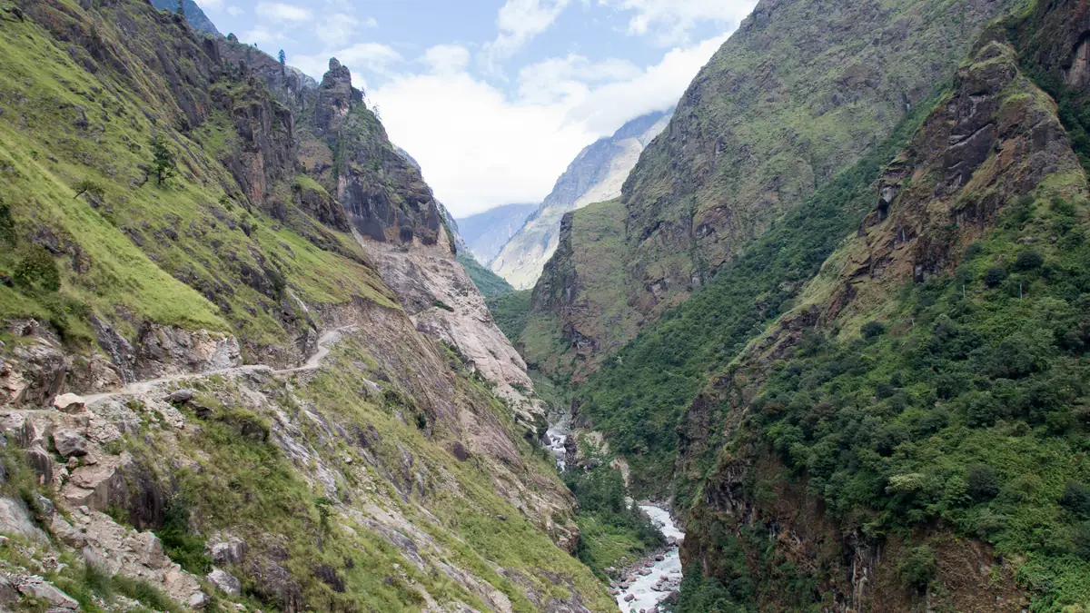
Where there were three days of rice terraces and waterfalls, a jeep now drives. The question is whether you want that.
The classic Circuit began in Besisahar at 760 m and climbed the Marsyangdi valley for three to four days – through rice terraces, over suspension bridges, past waterfalls, through Tal, Dharapani and the gorge to Chame. Since the gravel road reaches Manang, most packages skip this part: Nepal High Trek, MTA, CAN, Bold Himalaya and Nepal Social Treks drive by jeep to Chame, others to Jagat, Chamje or Dharapani. Only Ace, Mount Mania, Himalayan Social Journey and Accessible walk from Bhulbhule or Syange. If you want to avoid the road, take the NATT trails on the other side of the river – the guides know them.
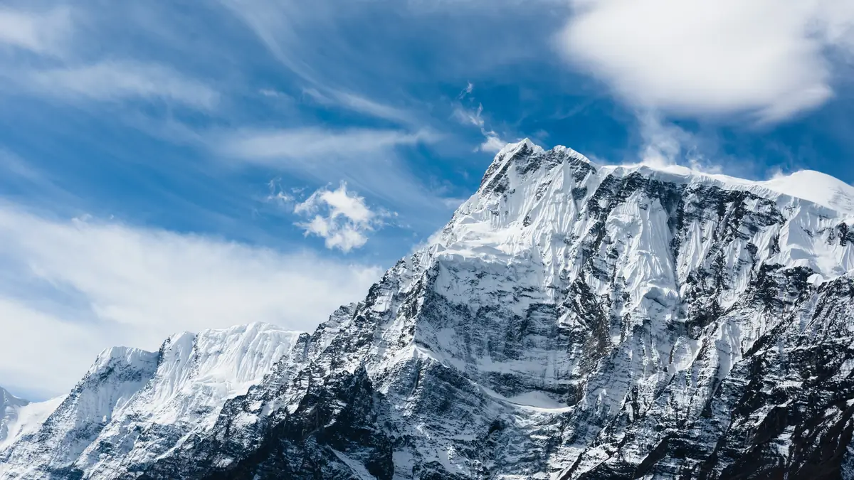
The upper trail is 400 m higher, three hours longer and the reason you came.
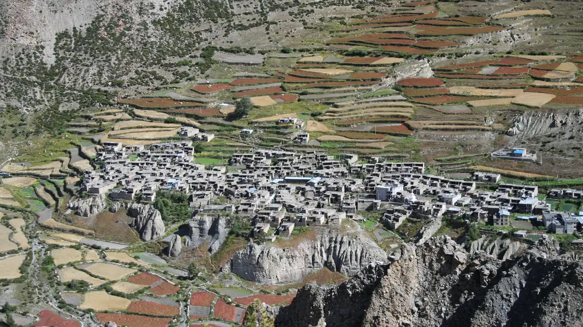
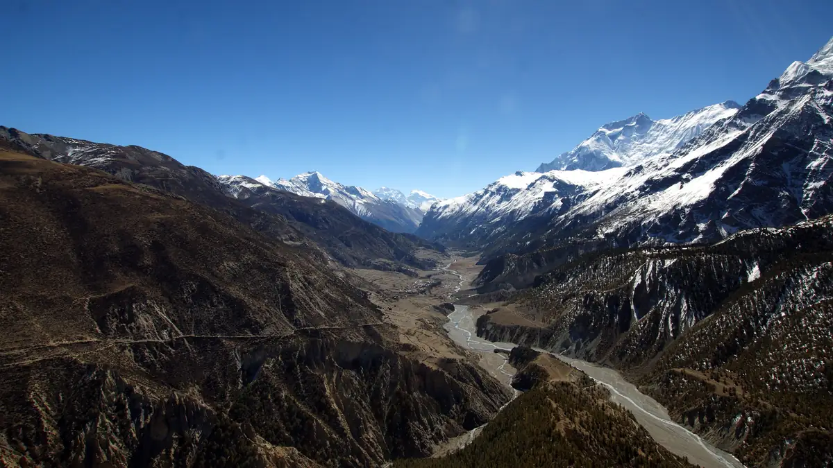
Beyond Pisang the valley opens and the trail splits: below by the river the road, above via Ghyaru and Ngawal the trekking path with the north face of Annapurna II and views of Annapurna III, IV and Gangapurna. The well-described itineraries (Ace, Sole, Peregrine, Himalaya Guide) take the upper route and sleep in Ngawal – that costs a day, brings acclimatisation and the finest villages of the Circuit. Manang at 3,540 m is the centre: bakeries, a cinema, the Himalayan Rescue Association's altitude clinic with a daily talk at three.
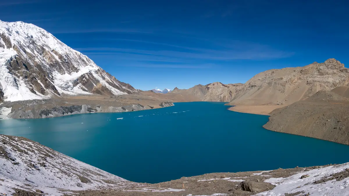
A two-day detour for a lake so blue you do not believe it.
From Manang via Khangsar and Siri Kharka through the landslide zone to Tilicho Base Camp at 4,150 m, the next morning 800 m up to the lake at 4,919 – one of the highest in the world, below Tilicho Peak and the Grande Barrière. That costs two to three days and a night in basic lodges, but brings acclimatisation that helps on the pass. Five products include the lake: Discovery World, Nepal Social, Sole, Mount Mania, Trek & Adventure – and Accessible names it in the description but not in the itinerary.
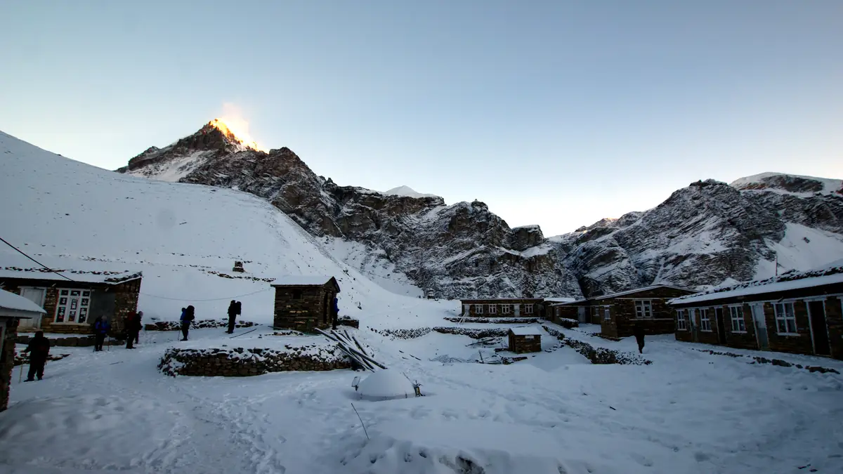
Phedi means foot. High Camp means: 400 m less in the morning, a night of worse sleep.
From Manang the valley becomes barren: Yak Kharka at 4,050, then Ledar, then the river crossing and the climb to Thorong Phedi at 4,450 m, where the lodges stand at the foot of the pass. Those who can walk another hour to High Camp at 4,880 – Nepal High, Himalayan Social Journey, Bold, Mount Mania and Trek & Adventure sleep there, the others in Phedi. High Camp shortens the pass day, but the night is colder and higher; if you already had a headache in Manang, stay below. In October 2014 more than 40 people died here in a blizzard – since then there are weather warnings and a registration requirement at the pass.
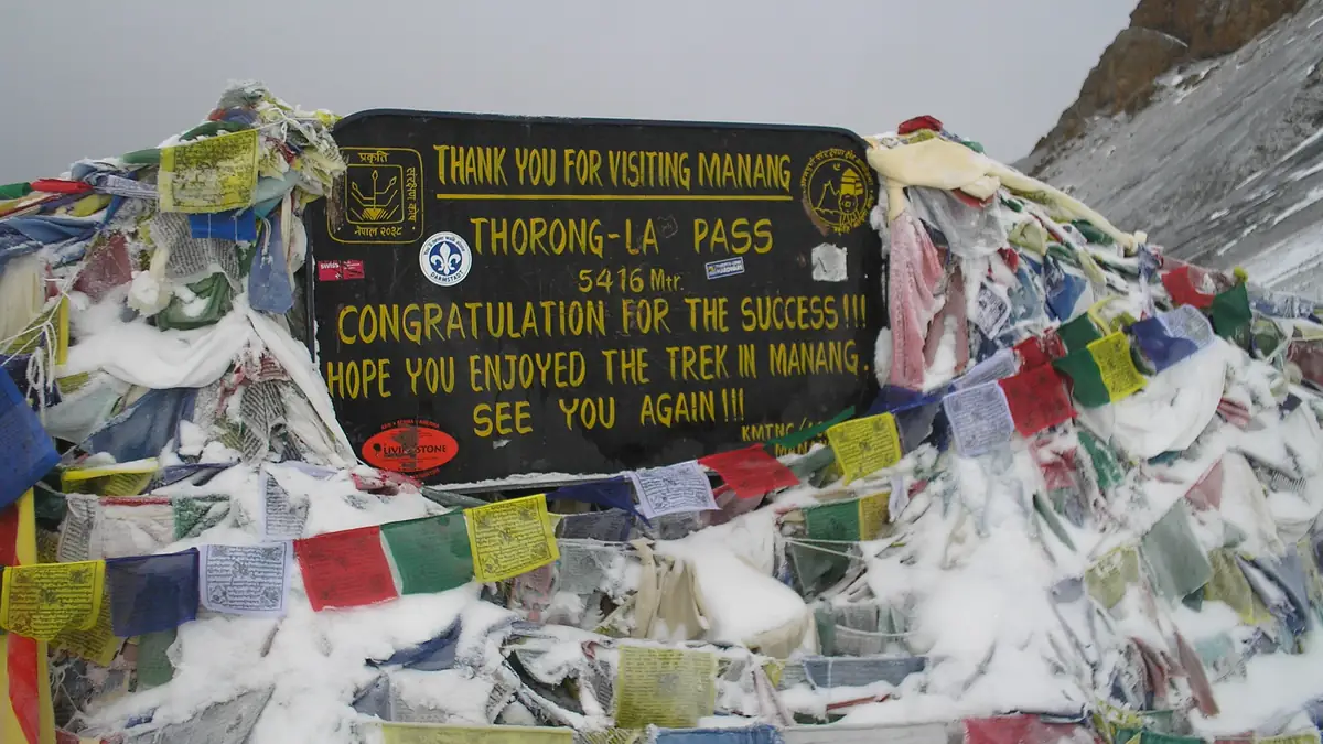
Off at four, on top by nine before the wind picks up. Then 1,600 m down into a different country.
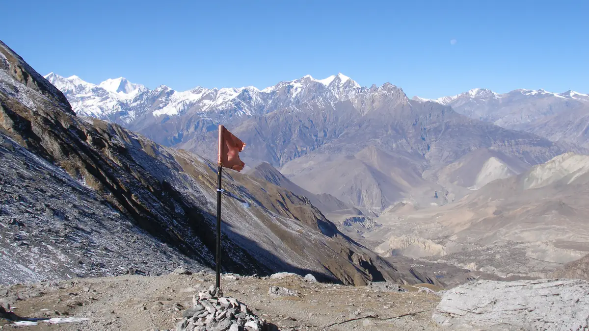
At 5,416 m Thorong La is one of the highest passes that can be walked without a rope: a broad saddle with prayer flags, a teahouse and views of Yakawa Kang and Khatung Kang. Departure between three and five, three to five hours of ascent in switchbacks, wind and cold on top, then the long descent of 1,600 m to Muktinath – into the dryness of Mustang, where the mountains are brown and red. No product names oxygen or an oximeter; MTA provides crampons for icy sections. In fresh snow the pass stays closed, and the packages have no substitute.
The temple where Hindus and Buddhists drink the same water. Then the road begins.
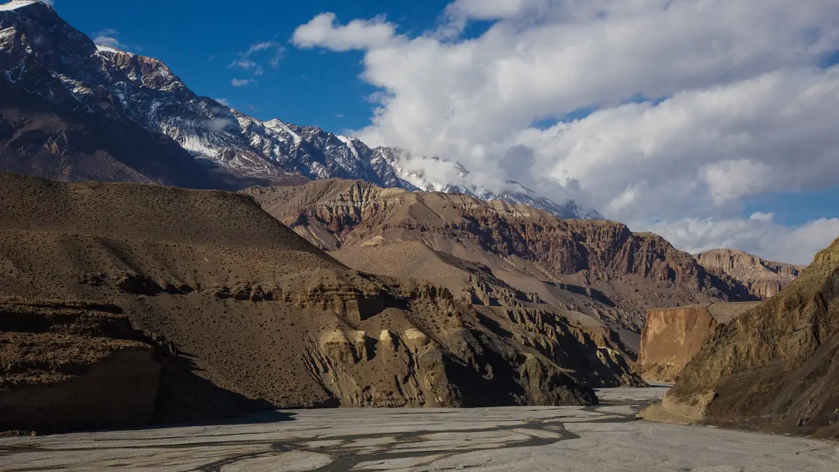
Muktinath at 3,760 m is a pilgrimage site with 108 water spouts and an eternal flame; from here a road leads through the Kali Gandaki valley, and here the packages part ways. The short ones drive: Nepal High and Trek & Adventure straight to Pokhara, Bold, CAN, MTA and Recreation via Jomsom. The long ones walk via Kagbeni to Jomsom (Sole, Happyland) or over the Lubra pass (Ace), fly from Jomsom to Pokhara (Himalayan Social Journey, Nepal Social, Adventure Bound Short) or take the jeep to Tatopani.
Hot springs at 1,190 m, then 1,600 m up to Nepal's most famous sunrise.
If you want the whole Circuit, you drive or walk to Tatopani, bathe in the hot springs and climb 1,620 m to Ghorepani the next day – the hardest ascent of the circuit after the pass. The reward is Poon Hill in the morning with Dhaulagiri, Annapurna South and Machapuchare, then the descent over the Ulleri steps to Nayapul. Seven products include this; the others end in Jomsom or Muktinath. The west side is like the east: the road is there, and whether you use it decides days and price.
The route in stages: altitudes and itineraries from the operator data, photos illustrate the places. The boxes show where the four compared offers differ at the same spot.
Day-by-day itineraries of the products
Three itineraries from the Viator data: the whole circuit (Ace, from day 3), the twelve-day trek with jeep to Chame and High Camp (Nepal High Trek) and the eight-day trek without rest day (The Everest Holiday).
Ace the Himalaya · 22 days, the whole circuit with city days 22 days · 21 nights
Public bus to Besisahar, six hours, then two hours by shared jeep to Syange – waterfalls, rivers, the first lodge.
☾ Lodge 1.100 mGently uphill along the Marsyangdi, waterfalls, the river flat of Tal.
☾ Lodge 1.700 mFirst views of Annapurna II and Pisang Peak, old villages.
☾ Lodge 1.860 mShort day to Chame, the district town of Manang, with shops and a hot spring.
☾ Lodge 2.670 mThrough forest and the narrow gorge, the Paungda Danda rock face, then the open valley of Pisang.
☾ Lodge 3.300 mThe upper route via Ghyaru with views of Annapurna II, III and IV – 400 m higher than the valley path, but the best views and better acclimatisation.
☾ Lodge 3.660 mVia Bhraka with its monastery to Manang, the village with bakeries, cinema and altitude clinic.
☾ Lodge 3.500 mAcclimatisation: monastery, Gangapurna glacial lake, talk by the Himalayan Rescue Association.
☾ Lodge 3.500 mVia Tenki Manang out of the Marsyangdi valley into the Jarsang Khola valley, yaks on the pastures.
☾ Lodge 4.000 mTwo hours up, river crossing at 4,310 m, then to the foot of the pass.
☾ Lodge 4.450 mOff at four, pass by nine or ten before the wind comes; 1,600 m of descent to Muktinath.
☾ Lodge 3.800 mInstead of the road, over the Lubra pass at 4,020 m to the Bön village of Lubra and along the Kali Gandaki to Jomsom.
☾ Lodge 2.710 mShared jeep through the deepest gorge on earth to Tatopani, hot springs; rest day the next day.
☾ Lodge 1.190 m1,620 m of ascent through Magar and Gurung villages to Ghorepani.
☾ Lodge 2.810 mSunrise on Poon Hill, then the 3,000 steps down to Tikhedunga.
☾ Lodge 1.570 mEasy descent to Nayapul, an hour to Pokhara; sightseeing the next day, then bus to Kathmandu.
☾ 3-Sterne-HotelNepal High Trek · 12 days, jeep to Chame, High Camp 12 days · 11 nights
Bus to Besisahar, night at the lodge.
☾ Lodge 760 mShared jeep up the gravel road to Chame – the lower three trekking days are skipped.
☾ Lodge 2.670 mFirst walking day through the gorge to Pisang.
☾ Lodge 3.230 mTo Manang.
☾ Lodge 3.450 mAcclimatisation with local hikes.
☾ Lodge 3.450 mTo Yak Kharka.
☾ Lodge 4.110 mVia Thorong Phedi up to High Camp – the pass night 400 m higher.
☾ Lodge 4.600 mOver the pass to Muktinath.
☾ Lodge 3.800 mLocal deluxe bus through the Kali Gandaki valley to Pokhara – no walking on the west side.
☾ 3-Sterne-HotelThe Everest Holiday · 8 days in three tiers: USD 699, 869, 1,899 8 days · 7 nights
Bus to Besisahar, jeep to Tal.
☾ Lodge 1.700 mAlong the Marsyangdi to Timang.
☾ Lodge ≈ 2.700 mVia Chame to Pisang.
☾ Lodge 3.200 mTo Manang – the rest day is dropped in eight days.
☾ Lodge 3.540 mTo Yak Kharka.
☾ Lodge 4.050 mTo the foot of the pass.
☾ Lodge 4.450 mOver the pass to Muktinath.
☾ Lodge 3.800 mJeep to Jomsom and on to Pokhara.
Stops and walking times from the operator's Viator product data, edited for length. Maps and figures illustrate the route and are not for navigation.
Transfers: bus, jeep, flight – and where the trail begins today
From Kathmandu to Besisahar it is six to eight hours by public bus or tourist bus; from there shared jeeps drive up the gravel road – two hours to Syange, four to Dharapani, five to Chame, in an emergency to Manang. On the west side a road has led since the 2010s from Muktinath via Jomsom and Marpha to Tatopani and Beni; buses take eight to ten hours from Muktinath to Pokhara. If you want to fly, take the morning plane from Jomsom to Pokhara, 20 minutes, only in clear weather, around USD 130 to 150 each way at market rates – included with three products. Ace avoids the road: over the Lubra pass from Muktinath to Jomsom, then by jeep to Tatopani.
The roads are the reason there is no “proper” Circuit any more, but twenty variants. The rule of thumb: if you only want the pass, drive to Chame and from Muktinath. If you want the villages, walk from Dharapani and to Jomsom. If you want the Circuit as it is in the book, you need three weeks and Ace.