- Day 1Imlil 1,740 m → Aroumd 1,900 m → Sidi Chamharouch 2,350 m → Refuge du Toubkal 3,207 m · ≈ 11 km · 5–6 hours · 1,470 m of ascent
- Day 2Refuge → south cirque → Tizi n'Toubkal 3,950 m → summit 4,167 m → refuge → Imlil · ≈ 18 km · 9–10 hours · 960 up, 2,430 down
- Summit start timesAmazouz “before sunrise” · Toubkal Experience breakfast 4:30 am · Atlas Vertical 5 am · Plan to Morocco 2 am · Morocco Tours Services 4 am
- Three days (View Morocco)Imlil → Tizi n'Mzik 2,450 m → Tamsoult refuge · Tamsoult → Tizi n'Aguelzim 3,560 m → Refuge du Toubkal · summit → Imlil
- DriveMarrakech–Imlil 65 km via Asni, 1.5 hours; pickup between 7 and 9 am
Two days is standard – and too fast for the altitude
The two-day trek is what almost everyone sells: morning from Marrakech, noon in Aroumd, evening at the refuge, breakfast at four, summit at eight, Imlil at three. It works because the trail is technically easy and the guides know the pace. In terms of acclimatisation, though, it is the opposite of what you learn on Kilimanjaro or Poon Hill: from 450 to 4,167 m in 30 hours, with a single night at 3,200. Headache, nausea and poor sleep at the refuge are the rule; most go in the morning anyway, because it improves quickly on the way down.
Three days come in two forms. The simple one: a night before in Imlil or Aroumd, then the same two-day trek – offered by Marrakech Day Trips and Trek in Atlas, neither in our selection because their data is unclear. The beautiful one: the circuit via the Azzaden valley as View Morocco walks it – day one over the Tizi n'Mzik pass to the Tamsoult refuge, day two over the Tizi n'Aguelzim at 3,560 m to the Refuge du Toubkal, day three the summit. Two nights above 2,200 m, a pass as an acclimatisation day, no path walked twice. It costs EUR 310 instead of 150 to 200 and has only ten reviews on Viator so far.
The stages
Six sections as they appear in the operators' itineraries. Altitudes per Refuge du Toubkal and operator data; Marocco Trekking puts Imlil at 1,450 m, which is a typo.
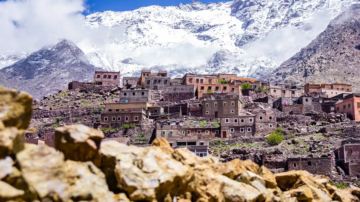
Ninety minutes from Marrakech, and walnut trees replace the palms.
Imlil at 1,740 m is the end of the road and the start of every Toubkal trek: a village of mule yards, gîtes and gear-rental shops. The guides wait here, the mules are loaded, and the path climbs immediately over terraced fields to Aroumd, the last village on the slope. A guide has been compulsory since 2019 – the checkpoint on the trail checks passports and the guide's licence.
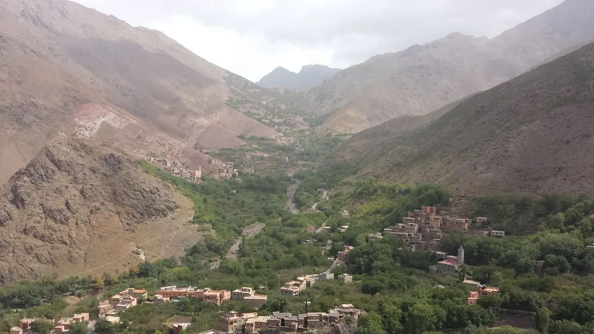
The trail follows the river, the mules overtake, and there is Coke at the white rock.
Above Aroumd the Mizane valley widens into a gravel bed that the trail crosses several times. Sidi Chamharouch at 2,350 m is a marabout shrine at a whitewashed boulder, with stalls selling water, tea and soft drinks – the last place to buy anything before the refuge. The shrine itself is off-limits to non-Muslims; the path passes it.
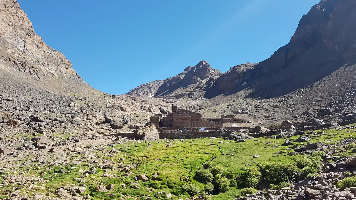
Two stone houses at the head of the valley, a hundred beds, a dormitory that goes quiet at 8 pm.
The Refuge du Toubkal of the Club Alpin Français – still called “Neltner” after its founder – and the neighbouring Refuge Les Mouflons stand at 3,207 m, where the valley turns into the cirques of Toubkal. Dormitories with mattresses and blankets, shared bathrooms, hot food from the cook who came up with the mule. Those who dislike the crowd sleep in a tent next door: Toubkal Hiking offers exactly that, with at most eight guests.
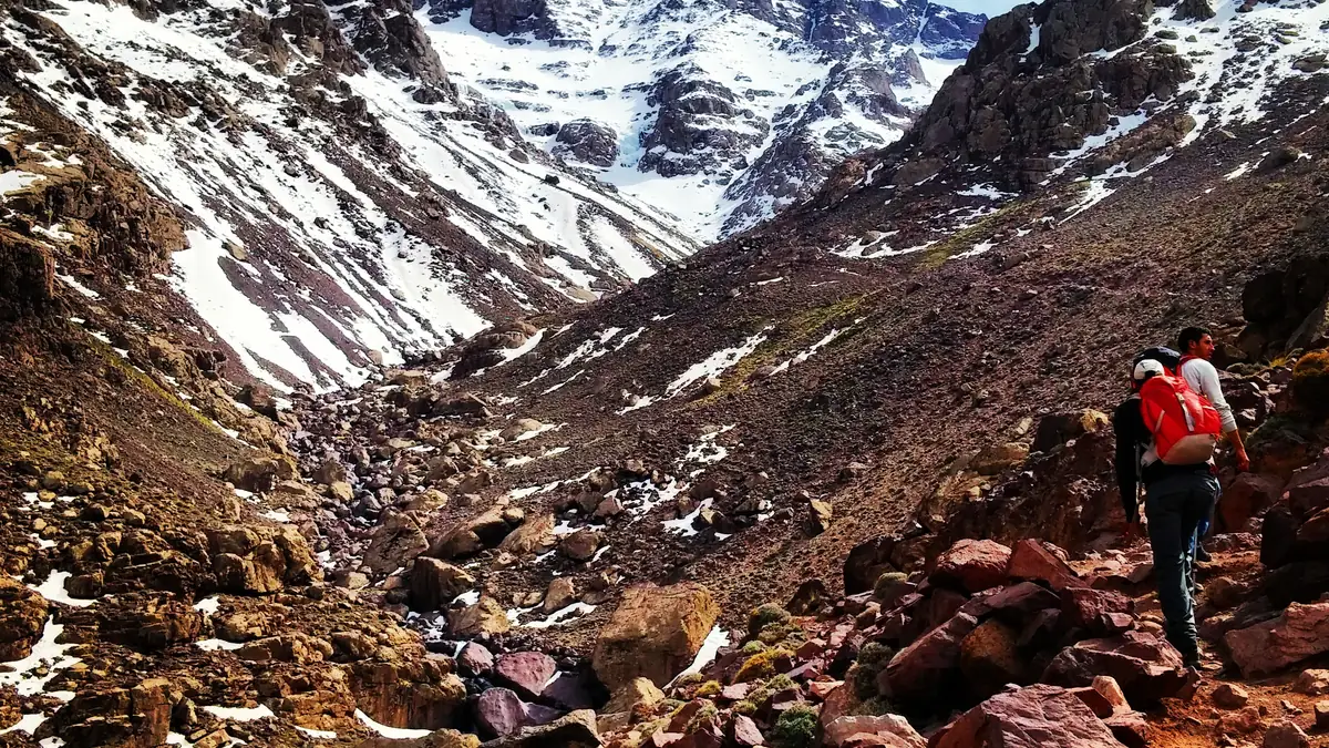
Breakfast at four, in the scree at five. Three hours in which nobody talks.
The trail crosses the stream above the refuge and climbs in switchbacks through the south cirque: scree, boulders, old snow in spring. It is never climbing, but the altitude makes every step heavy, and the guides go slowly with many breaks. From November to April there is snow here – then crampons and ice axe are compulsory, which almost all operators rent but only one has in the inclusions list.
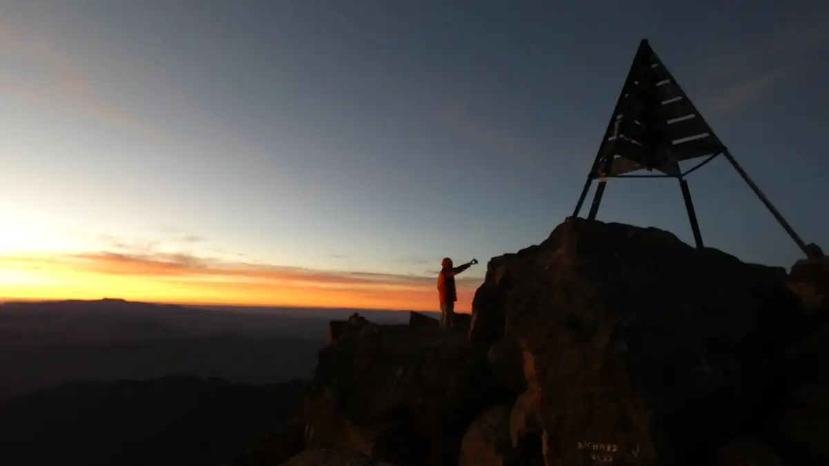
The wind comes over the saddle, then the pyramid is standing there, and beyond it everything drops away to the Sahara.
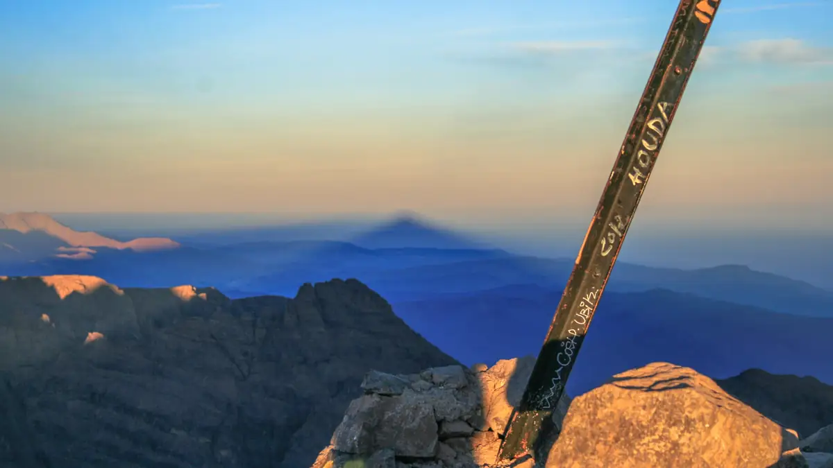
At 3,950 m the trail reaches the saddle; from there it is another 200 m of ascent along the ridge to the metal pyramid at 4,167 m. In clear weather the view reaches north across the plain of Marrakech and south across the Anti-Atlas to the edge of the desert; at sunrise the mountain casts its shadow as a triangle to the west. It is cold, even in summer – the operators who start at four are on top at sunrise.
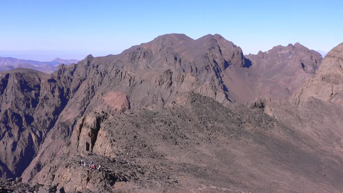
2,400 m downhill by lunchtime. The knees feel it all the way to Marrakech.
Back to the refuge, breakfast or tea, then the whole route of day 1 in reverse: Sidi Chamharouch, the riverbed, Aroumd, Imlil. Most groups are down between 1 and 3 pm, eat in Imlil and are in Marrakech in the late afternoon. If two days sound too hard, take three: View Morocco goes via the Azzaden valley and the Aguelzim pass to the refuge and spreads the altitude over two days of ascent.
The route in stages: altitudes and itineraries from the operator data, photos illustrate the places. The boxes show where the four compared offers differ at the same spot.
Day-by-day itineraries of the products
Three itineraries from the Viator data: the standard two-day trek (Amazouz), the private two-day trek with times (Toubkal Experience) and the three-day circuit (View Morocco). The other nine two-day treks follow the Amazouz pattern with different start times.
Amazouz · 2 days from Marrakech, group or private 2 days · 1 nights
Hotel pickup, ninety minutes via Asni to Imlil, where the guide and mule team wait. Through Aroumd and past Sidi Chamharouch to the refuge, lunch on the way, evening in the dormitory.
☾ Refuge, Schlafsaal 3.207 mOff before sunrise, summit at first light, back to the refuge for breakfast, descent to Imlil, lunch, drive back to Marrakech in the afternoon.
Toubkal Experience · 2 days private, sleeping bag and water included 2 days · 1 nights
Private transfer via Asni to Imlil, guide and muleteer, mule path via Aroumd and Sidi Chamharouch along the river to base camp.
☾ Refuge 3.207 mBreakfast at 4:30 am, switchbacks above the camp, many breaks to acclimatise, water and nuts on the way, first view of the summit after two and a half hours. Tea at the refuge, descent to Imlil, driver waiting.
View Morocco · 3 days via the Azzaden valley and Aguelzim pass 3 days · 2 nights
Transfer to Imlil, six hours over the Tizi n'Mzik pass into the Azzaden valley, past Azib n'Tamsoult and the Ighouliden waterfalls to the refuge.
☾ Refuge Tamsoult ≈ 2.250 mThe steep day: out of the Azzaden valley up to the Aguelzim pass at 3,560 m, lunch with views across the High Atlas, descent to the Toubkal refuge.
☾ Refuge 3.207 mEarly start, summit, rest at the refuge, descent via Sidi Chamharouch to Imlil and drive back.
Stops and walking times from the operator's Viator product data, edited for length. Maps and figures illustrate the route and are not for navigation.
Two and three days side by side
| 2 days standard | 3 days with a night before | 3 days Azzaden circuit | |
|---|---|---|---|
| Nights | 1 (refuge) | 2 (Imlil + refuge) | 2 (Tamsoult + refuge) |
| Highest night before the summit | 3,207 m | 3,207 m | 3,207 m |
| Nights above 2,000 m | 1 | 1 | 2 |
| Highest point before summit day | 3,207 m | 3,207 m | 3,560 m (Aguelzim) |
| Total walking time | ≈ 15 h | ≈ 15 h | ≈ 22 h |
| Path walked twice | yes | yes | no |
| Products | 11 | none approved | View Morocco (caveat) |
| Price for two | USD 106–327 | – | USD 349 |
Walking times from operator data, rounded.