- StartLa Soledad ≈ 2,400 m, one hour's drive from Antigua (1,530 m)
- Base camp≈ 3,600–3,750 m at the tree line, depending on the operator; all facing Fuego
- Summit3,976 m, 1–2 hours above camp, setting off at four
- Distance≈ 6–7 km up on day one, ≈ 16 km in total with the summit
- Elevation gain≈ 1,300 m on day one, ≈ 300 m on the second morning; all of it back down
The profile: steep at the start, thin at the top, sandy everywhere
Acatenango has no distance problem, it has a surface problem. The first ninety minutes from La Soledad go through fields on loose volcanic sand where every step slides half a step back – the section where most people have doubts. Then the cloud forest: shade, firm ground, steps made of roots. Above 3,000 m the forest thins into high forest with pines and the first views of Agua and Fuego; most groups have lunch here. The last hour crosses wind-swept volcanic scree to the camp at the tree line.
The summit on the second morning is short and hard: 300 m of ash in one to two hours, in the dark, in the wind. At the top a crater rim, Fuego diagonally below, on clear days the Pacific. The descent back to La Soledad takes two and a half to three hours – in the sand you can run, which your knees may or may not thank you for.
Itineraries of the products
From the Viator product data, shortened. Camp altitude varies between 3,600 and 3,750 m because every operator has its own camp. Brothers Expeditions and AcateGo have no itinerary in the data.
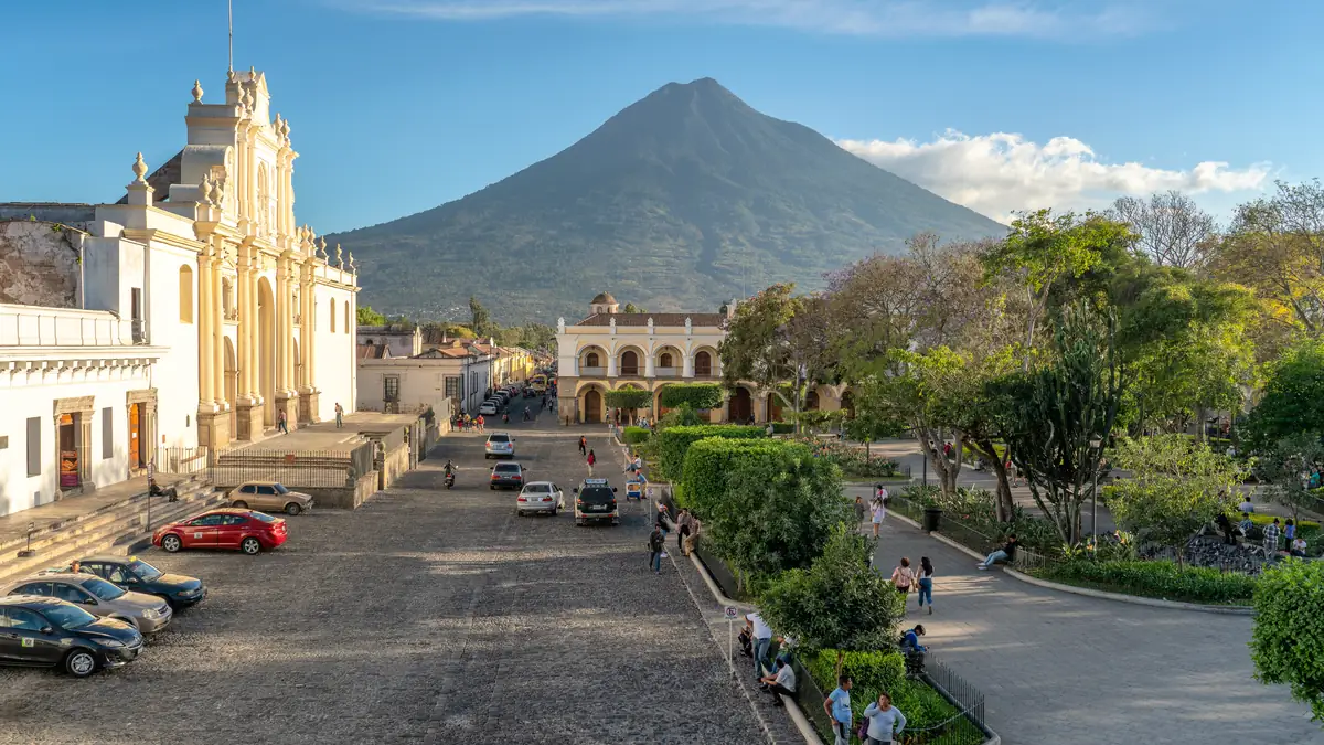
At the office at seven, on the mountain at nine. The gear in between.
Every tour starts in Antigua, usually at the operator's office: briefing, jacket, hat, gloves, headtorch from the gear store, packing. Then an hour by minibus uphill to La Soledad, a village at 2,400 m where the trail begins. If you realise here that the jacket is too thin, most operators still let you swap.
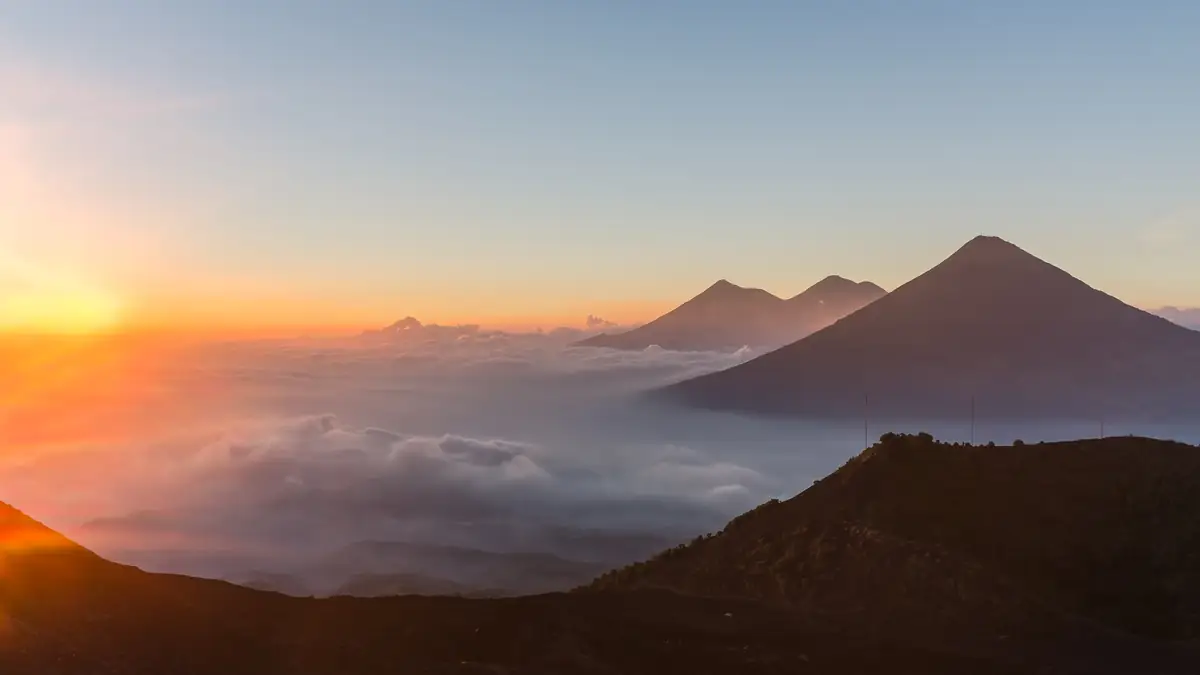
The first hour is the steepest. Everyone says so, and everyone is right.
The trail starts in cornfields on loose volcanic sand where every step slides back. After an hour comes the cloud forest with shade and firm ground, then the high forest with the first views of Agua, Pacaya and Fuego. Four vegetation zones in five hours – the guides walk slowly so the altitude does not bite.
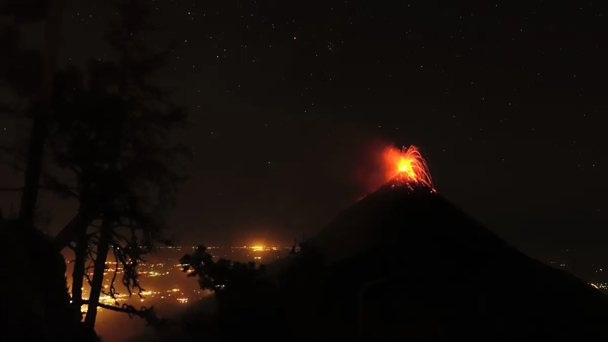
Every twenty minutes it rumbles. Then embers fly into the sky.
The camps sit at the tree line looking across the valley to Fuego, three kilometres away as the crow flies. Every operator has its own: wooden cabins with bunks, safari tents with cots or dome tents on sand. After sunset it gets cold, below zero is normal – and then the reason everyone is here begins: Fuego throws lava, and you see it before you hear it.
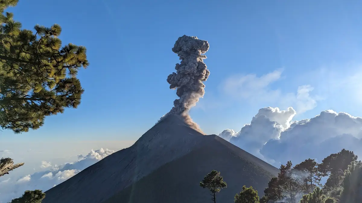
The side trip you add on – and feel the next day.
From base camp a ridge leads across to Fuego: first 300 m down, then up to a point where the eruptions happen right above you. Three to four hours, back in the dark, offered as an add-on for around 200 quetzales by five products, expressly excluded by OX and Pachamama. If you still want the summit the next morning, think twice.
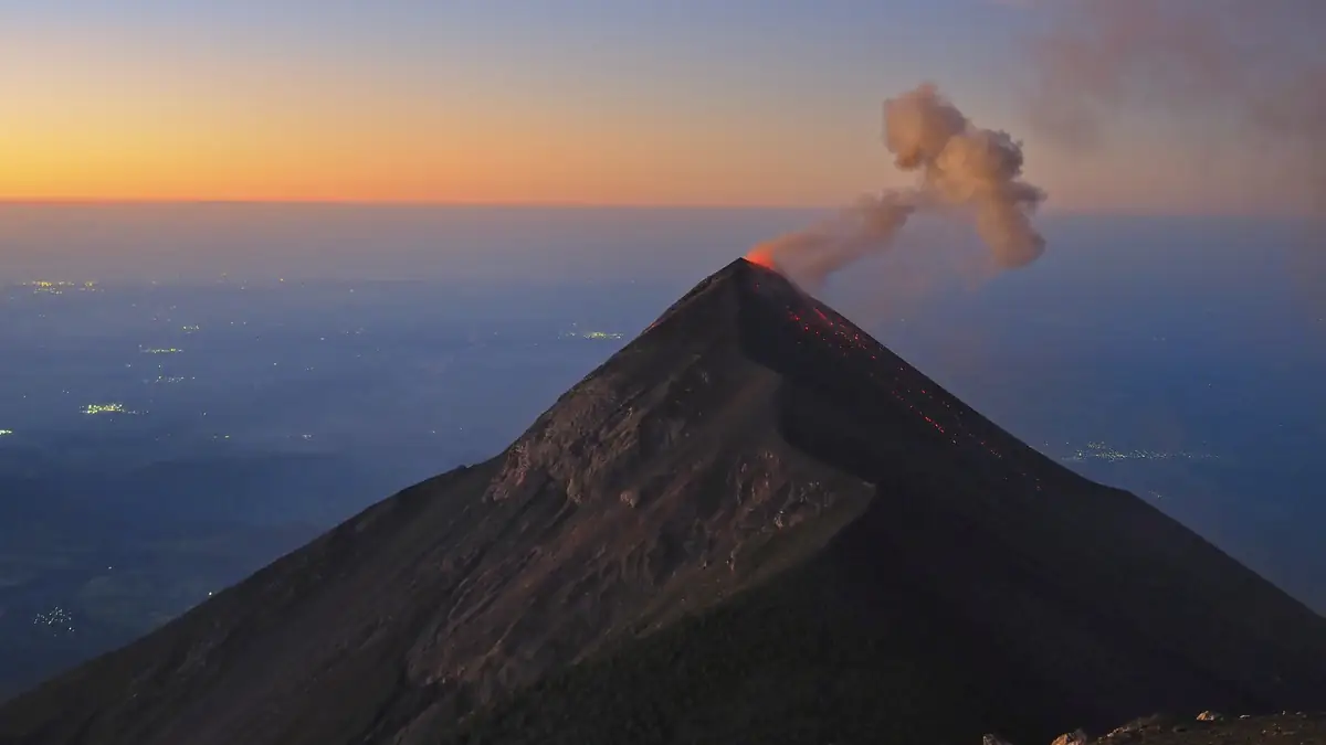
Woken at four, at the top by six, at half past it turns pink.
The last 300 m of ascent are volcanic ash: two steps up, one back, in the dark and wind. At the top a crater rim with views of smoking Fuego, of Agua and Pacaya, on clear days as far as the Pacific. Then the sun rises over the highlands. With Pachamama the summit is optional and depends on a group majority – everyone else goes up if the weather allows.
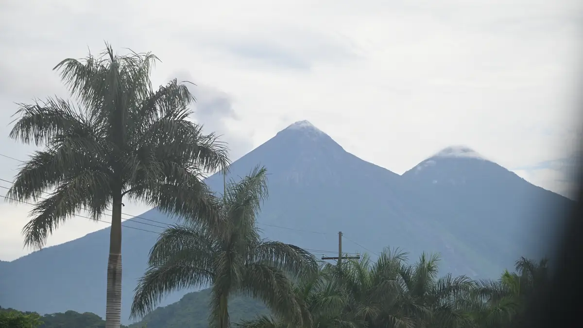
Downhill in sand is fast. Your knees notice anyway.
After breakfast at camp it is two and a half to three hours down to La Soledad, the same way as up, only dustier. The minibus waits, and you are in Antigua between twelve and one – in time for the bus to Lake Atitlán or a shower you badly need.
The route in stages: altitudes and itineraries from the operator data, photos illustrate the places. The boxes show where the four compared offers differ at the same spot.
OX Expeditions · cabin with a window 2 days · 1 nights
Breakfast at a restaurant, minibus to the trailhead, climb up the Acatenango trail to base camp with views of Fuego, arriving around 2 pm. Pre-trip meeting at 5 pm the day before at the office.
☾ Hütte mit Fenster zum FuegoEarly to the summit for sunrise (weather permitting), back for breakfast, descent and return to Antigua.
CA Travelers · all in, community guides 2 days · 1 nights
7:15 am breakfast at the office, 8 am shuttle to the supply centre (luggage storage), 45 minutes to the volcano, 10:30 am start, lunch after two hours, camp at 4 pm. Guides from the cooperative of the San José Calderas community.
☾ Hütte für vier, Schlafsack −6 °CNinety minutes to the summit, sunrise, breakfast at camp, two and a half hours down, a smoothie at the supply centre, drop-off at your hostel.
Experience GT · Camp Ixcanul, private trail 2 days · 1 nights
Briefing and gear at the office, drive to La Soledad, start at the private “Miratenango” trailhead (last toilet, small shop) – the private trail saves an hour and twenty minutes over the usual route, says the operator. Second stop at the park pay booth.
☾ Holzhütte, Etagenbetten4 am departure for the summit, 7 am breakfast, descent until about 11 am, back in Antigua between 12:30 and 1:15 pm, return the gear at the office.
Pachamama · comfort cabins, short trail 2 days · 1 nights
7:30 am at the office, gear and briefing, 45–60 minute minibus to La Soledad, ascent via a shorter route used by only a few agencies; each group hands the guide a litre of water for cooking. Fuego side trip, snacks and porters for a fee.
☾ Isolierte Holzhütte mit Glastür4 am wake-up for the optional summit; it only happens if at least half the group joins (private guide Q700). Breakfast, descent to La Soledad, back around noon.
Trek Guatemala · glamping 2 days · 1 nights
Through fields of corn and snow peas, cloud forest, high forest with views of six volcanoes (trail lunch), then wind-swept volcanic terrain to camp. Dinner, coffee and tea by the fire, Fuego eruptions and a starry sky.
☾ Safari-Zelt mit FeldbettBreakfast, one hour to the summit with views as far as Mexico, about an hour at the top, three-hour descent to La Soledad, back in Antigua around 1 pm.
Old Town Outfitters · private, own camp 2 days · 1 nights
8 am from the shop (fill water bottles, buy gear), one hour to La Soledad, five to six hours through four microclimates to the private camp just below the tree line with views of Fuego. Freshly cooked dinner, tea and coffee.
☾ Dreipersonenzelt, Schlafsack −6 °CAbout two hours steeply to the summit before sunrise, Fuego's last eruptions at dawn, back for breakfast, descent to La Soledad.
Stops and walking times from the operator's Viator product data, edited for length. Maps and figures illustrate the route and are not for navigation.
Cold and altitude: the two things that make it hard
The camp is as high as Poon Hill, but without a teahouse and a stove. After sunset the temperature drops to zero to minus five, and the wind blows unchecked from the Pacific over the ridge. The operators' loan gear – jacket, hat, gloves – is enough if you wear thermal underwear, a fleece and long trousers underneath; trainers and jeans are not. At the summit at six it is colder still. Altitude: if you were in Antigua the day before you have no acclimatisation. Headache and nausea from camp upwards are common, serious altitude sickness at 3,976 m rare; that is why the guides walk slowly and leave nobody behind.
Best season: November to April clear, May to October wet
The dry season from November to April brings clear nights and the best eruption views, but also the coldest nights (December, January) and the fullest camps. In the rainy season from May to October it mostly rains in the afternoon; the ascent gets muddy, the camp often sits in cloud, and Fuego at night is a matter of luck – Old Town expressly lists a rain jacket as mandatory from May to October. The tour runs all year; it is cancelled in storms or when the volcano agency INSIVUMEH closes access because of increased Fuego activity.
Questions about the route
How long is the ascent?
Five to six hours from La Soledad to camp at a normal pace with a lunch break, four to four and a half via the private trailheads of Experience GT and Pachamama. The summit the next morning: one to two hours up, one down.
How much elevation gain?
About 1,300 m on day one from La Soledad to camp, about 300 m on the second morning to the summit – roughly 1,600 in total. The same downhill in one morning.
Can beginners hike Acatenango?
Yes, if you can keep going uphill for six hours and cope with cold. It takes no experience, but it takes fitness. If unsure, take the shorter private trailhead (Experience GT, Pachamama), skip the Fuego side trip and leave the summit open.
Is there water and are there toilets?
You cannot buy water on the trail – everyone carries two to four litres, only CA Travelers and Experience GT provide some. Toilets: a last one in La Soledad, pit toilets or latrines at the camps.
Sources and check status
Show 5 sources
- www.viator.com/tours/Antigua/Acatenango-Volcano-Overnight-Hike-with-Co – Trek Guatemala: itinerary with the four ecosystems and camp at 3,750 m (Viator Partner API) (accessed 25 September 2026)
- www.viator.com/tours/Antigua/Acatenango-Overnight-Hike/d4599-125769P3 – CA Travelers: timed itinerary (Viator Partner API) (accessed 25 September 2026)
- www.viator.com/tours/Antigua/Immerse-yourself-in-the-Ixcanul-adventure – Experience GT: Miratenango private trailhead, walking times (Viator Partner API) (accessed 25 September 2026)
- www.viator.com/tours/Antigua/Acatenango-Volcano-Overnight-Hike/d4599-5 – Old Town Outfitters: four microclimates, summit climb (Viator Partner API) (accessed 25 September 2026)
- www.insivumeh.gob.gt/ – INSIVUMEH: Fuego activity, highland weather (accessed 25 September 2026)